
In 1952 a Swiss geologist named Toni Hagen went to work for Nepal’s government and for the United Nations, surveying and mapping the country’s rocks and land. He did it on foot. By the time he was finished he had walked more than 14,000 kilometers, crossing Nepal several times from the plains to the snow. He later divided it into seven zones, and a walk from the Indian border to Tibet meets them in the same order wherever it starts: the Terai’s flat plain, the low, crumbly Siwalik hills, the higher ridge of the Mahabharat, a broad midland of terraced hills, the great snow peaks, the high valleys tucked among them, and behind them a cold, dry land at the edge of Tibet.
Put plainly, Nepal is striped. The stripes run from east to west, the long way, and crossing the country from south to north means crossing all of them, in a little under 200 kilometers. They aren’t only stripes of height. Each one is made of a different kind of rock, and most of them begin at one of the great faults that India’s push into Asia has opened in the ground. The heights, the rivers, the forests and the places people live all follow the rock.
Stacked like roof tiles
India is still moving north into Asia, and the fault between the two, the Main Himalayan Thrust, slopes gently down under Nepal from the foot of the Chure hills, as the earthquake chapter tells. India slides under. But the slide isn’t clean. As India’s rock goes down, slabs of its upper layers are scraped off and pushed up and over the land in front, the way a pile of roof tiles builds up if each new one is shoved under the last. Each slab is moved along a fault of its own, which comes up to the surface as a long line running east to west across the country.
Three of these faults matter most, and geologists have given them plain names. The Main Frontal Thrust is the southernmost, at the very front of the mountains, and the youngest; it is where the plain stops and the first hills rise. The Main Boundary Thrust runs behind it, typically about 20 kilometers back, though on the Koshi line only about four, along the foot of a higher ridge. The Main Central Thrust lies much farther north, where the great peaks begin. The newest faults have formed at the front, so over millions of years the active edge of the mountains has moved south, toward the plain, and the land behind each fault has been pushed up on top of it.
That is why the belts come in the same order everywhere. Between the faults lie great sheets of different rock, and the rock decides what the land looks like. Soft, young rock wears down into low, steep, crumbly hills. Old, hard, cooked rock stands up as ridges and peaks. Gravel tipped out of the hills makes the plain.
The lines don’t match each other exactly, and they shouldn’t. On the Koshi line the hills of soft young rock are only about four kilometers wide; on the Karnali line, in the far west, they are over 30. On the Kathmandu line a sheet of old, hard rock lies on top of the hills, and the line crosses it before the valley. The order, though, never changes.
Three belts or five
How many belts there are depends on who is counting, and why.
The count every student in Nepal learns has three: हिमाल (himal), the high mountains; पहाड (pahad), the hills; and तराई (Terai), the plain. The textbooks draw the lines by height. The Terai runs from the lowest point in the country, 59 meters above the sea near केचनाकवल (Kechanakawal) in Jhapa, up to about 600 meters (some books say 610, which is 2,000 feet). The hills run from there to about 3,300 meters, and the himal from there to the top of Everest, 8,848.86 meters.
The census uses the same three names, but it can only count people by district, so it puts each of the 77 districts whole into one belt: 16 Mountain, 40 Hill and 21 Terai. A Mountain district is counted with all its low valleys and forests. The geographers’ count is a third. In 1986 the Land Resource Mapping Project mapped the whole country by the shape of its land and drew five regions, giving them only rough heights: the Terai, below about 500 meters; the Siwalik, the Chure hills; the Middle Mountains, the country of terraced hills; the High Mountains, roughly 3,000 to 5,000 meters; and the High Himal above them. Side by side, the three give Nepal’s area very different shares:
| Textbooks, by height | Census, by district | 1986 map, by landform |
|---|---|---|
| Terai 17% | Terai 23% | Terai 14%, Siwalik 15% |
| Hills 68% | Hill 42% | Middle Mountains 29% |
| Himal 15% | Mountain 35% | High Mountains 19%, High Himal 23% |
In 2021 the census’s Terai districts held 54 percent of Nepal’s people, its Hill districts 40 percent and its Mountain districts 6. The Mountain districts had 34 people to a square kilometer; the Terai had 460, the crowding that People and Nature looks at. Hagen’s seven zones split the ground more finely still, giving the ridge called the Mahabharat a zone of its own and separating the high dry valleys from the peaks.
None of these is wrong. They are answers to different questions: how high a place is, which district runs it, what shape the land has. So the same village can be in the hill belt by its height, in a Mountain district for the census, and in the High Mountains on the 1986 map. The numbers disagree because the lines are drawn in different places, and any number about “the hills” or “the mountains” means something only once you know whose lines it uses.
From the plain to the Mahabharat
The Terai is the top of the great plain that the Himalaya’s rivers have built from their own waste. It is nearly flat. On the Koshi line, south of Biratnagar, the ground is about 70 meters above the sea; 30 kilometers north it is still only about 110, and then in the last ten kilometers before the first hills it climbs to about 800. The plain is where the rivers spread out, drop their load and wander, as the Koshi does on its fan.
Along its northern edge runs a strip that looks like the rest of the plain from a distance and behaves quite differently. Nepal’s textbooks call it the भाबर (Bhabar). It is where the rivers come out of the hills and first lose speed, so they drop the heaviest things first: boulders, cobbles and gravel. The strip is from about 8 to 16 kilometers wide, and it is made of rubble. Rain soaks straight into it, and small streams coming out of the hills sink into the gravel and disappear. The water hasn’t gone far. It travels south under the ground through the gravel until it meets the finer sand and mud of the plain, which it can’t pass so easily, and there it comes back up as a line of springs and marshes. Its dense forest is known as the चारकोसे झाडी (Charkose Jhadi), the four-kos forest, a kos being about three kilometers.
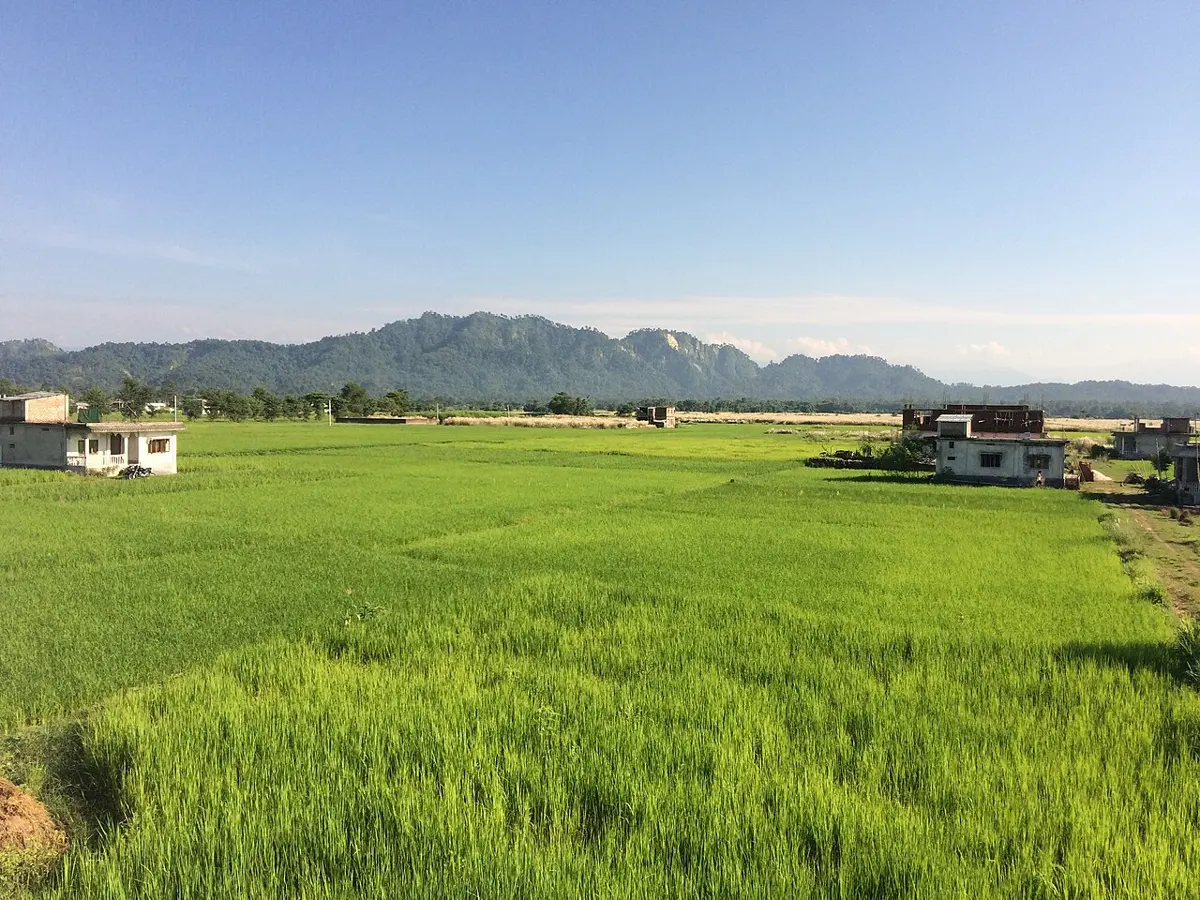
Then, at the Main Frontal Thrust, the ground tips up. The चुरे (Chure), which geologists call the Siwalik Hills, a name taken from Shiva, is the first range of the Himalaya. It runs some 2,400 kilometers along the mountains’ front, from the Indus almost to the Brahmaputra, and it reaches 1,500 to 2,000 meters along much of its length, though where the Section’s three lines cross it in Nepal its tops are lower, about 950 to 1,400 meters. Its rock is the youngest in the mountains, sand, mud and gravel laid down by rivers from about 16 million years ago until less than 2 million, and only weakly stuck together. It is, in other words, the same kind of stuff as the Terai, an older plain that the fault has lifted and tilted. That is why the Chure is so steep and so quick to wash away in the rain, and why its rivers carry so much sand. Its layers are also full of bones. Fossils from the Siwaliks include the largest tortoise known, a giant relative of the giraffe and an ape called Sivapithecus.
Behind the outer ridge of the Chure, in places, lie long, flat-floored valleys, still inside the Chure belt and walled to the north by the next range. Nepal calls them भित्री मधेस (Bhitri Madhesh), the inner Terai. Chitwan and Dang are among the largest; the textbooks also name those of Surkhet, Udayapur, Sindhuli, Makwanpur and Nawalparasi. They are low and warm like the Terai, with the same kind of river-laid floor, but closed in by hills on both sides. On the Kathmandu line Hetauda lies inside the Chure belt, and on the Karnali line Surkhet’s valley lies in a Chure belt over 30 kilometers wide.
North of the inner Terai the land changes again, this time along the Main Boundary Thrust. Here rock far older than the Chure’s has been pushed up over it, and it stands up as a long, steep ridge called the महाभारत (Mahabharat). On the Kathmandu line it rises to about 2,500 meters between Hetauda and the valley. The Mahabharat is a wall in more ways than one. Few rivers get through it, and the big ones that do, the Karnali, the Gandaki and the Koshi, pass in deep gorges.
Over the hills to the snow
Past the Mahabharat lies the country most people mean when they say पहाड: ridge after ridge of terraced hills, between 1,000 and 3,000 meters or so, with rivers in the valleys and villages on the slopes and saddles. This is the Middle Mountains of the 1986 map, the largest of its five regions, and the belt that holds the country’s biggest valleys, Kathmandu and Pokhara among them.
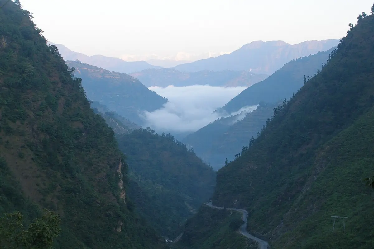
The hills are made of old rock, mostly laid down on the edge of India more than half a billion years ago and since then squeezed into slate, phyllite, schist and quartzite, beside limestone and dolomite. They are changed, but only a little: geologists call the rock low-grade, and almost none of it holds fossils. The slopes are steep and the rock is broken by folding and faulting, which is why so much of the slopes chapter happens here.
The hills aren’t made of hill rock everywhere. In places, sheets of the harder, more changed rock from farther north lie on top of them, pushed south along the faults. The biggest is the one the Kathmandu line crosses. The Mahabharat south of Kathmandu and the hills around the valley are made of it. The Department of Mines and Geology’s map colors it as the same rock as the high Himalaya; geological summaries describe it as a sheet laid over the hills’ rock along the Main Central Thrust. Part of it, just south of the valley, the map even colors as sea-floor rock, the kind found behind the high peaks. The valley itself is something else again: its floor is the bed of an old lake, which is the next chapter’s story.
Then comes the Main Central Thrust, and on the other side of it is the High Himalaya. Its rock is gneiss, the most changed rock of all, threaded with pale granite, and some of it was cooked so hot that it partly melted. On the Koshi line the gneiss begins for good about 33 kilometers short of Makalu; on the Karnali line, about 75 kilometers short of the Tibetan border. From there the land climbs fastest of anywhere in Nepal, up to the High Mountains and the High Himal, and it carries the ice. Eight of the world’s fourteen peaks over 8,000 meters are in Nepal, and Mountain Flights flies past them over the real ground.
Each step north, the air gets colder, and this is where the climate layer of the Section changes most. On the Kathmandu line the hot-summer kind of climate that covers the plain reaches far up the valleys, and the line rises into tundra, too cold for trees, only about 30 kilometers from the border. Why the climates fall out this way, and the forests that go with them, are other chapters’ work.
Behind the mountains
The snow peaks are not quite the end. Behind the highest ridge, in Mustang, Manang and Dolpa and along the far west, the rock changes once more, to limestone, shale and sandstone laid down on the floor of the Tethys, the ocean that India swallowed on its way north. These rocks are rich in fossils, especially in Thak Khola in Mustang and in Manang and Dolpa. The शालिग्राम (shaligram) stones from the Kali Gandaki are ammonites from this belt, and so, in a way, is the top of Everest, whose summit is limestone from the same old sea.
Between the gneiss and the sea-floor rock lies the last of the great faults, the South Tibetan Detachment. It is the strangest of them. Most geologists read it as a fault where the rock above slid down and away to the north while the gneiss below was pushed up, the opposite of the thrusts to the south; some now read old observations to say it is a thrust after all. How it works matters for how the high range was built, and it is still argued. The Department’s map draws no line for it, so the Section shows it only as the place where the gneiss gives way to the old sea floor.
This is the land behind the rain. The monsoon drops most of its water on the southern side of the peaks, and the valleys behind get little, which is why Mustang is Nepal’s own desert, brown and bare, more like Tibet than like the hills a day’s walk south. On the Karnali line it shows as sea-floor rock again in the last few kilometers before the border, more than 5,000 meters up.
So a walk from Biratnagar to Makalu, or from Nepalgunj to Simikot, is a walk across the edge of a collision. The plain is the waste the mountains are shedding now. The Chure is the waste of a few million years ago, lifted and tilted. The hills are India’s old margin, scraped up and stacked; the high peaks are its deep, cooked rock, pushed to the top; and the dry land behind them is the floor of the sea that was in the way. Nepal is stacked from the south, and it is still being stacked: the front of the pile, where the Chure meets the plain, is where the next slab is being shoved under.
Found a mistake? Please tell us.