
Stand in Bhaktapur’s Durbar Square and walk east. For a few kilometers the ground barely changes. Then it starts to climb, and it doesn’t stop until the ridge above Nagarkot, about 9 km away and some 800 m higher. Walk west instead and the land stays almost level for twenty kilometers, past Thimi and across the Manohara and the Bagmati, through the middle of Kathmandu, until it rises again toward Chandragiri, more than 2,500 m up. Go north, or south, and the story is the same. The floor is flat, about 1,300 m above the sea. The hills around it reach 2,000 to 2,800 m, and they close it in on every side.
So the Kathmandu Valley is a bowl. The flat part of its floor covers about 340 square kilometers, and the rim around it is broken in only a few places: five passes, each between 200 and 1,500 m above the floor, and one gap low enough for a river. All the water that falls in the bowl leaves through that one gap, in the Bagmati, at Chobhar.
Heights from NASA’s Shuttle Radar Topography Mission (SRTM, 1 arc-second), public domain.
A floor that flat, ringed by hills, looks as if it was made by water. That is exactly what both the old story and the geologists say.
The lake
The old story is told in the स्वयम्भू पुराण (Swayambhū Purāṇa), a Buddhist text of great importance to the Newars. Long ago, it says, the valley was a sacred lake. On the lake grew a lotus with a thousand jeweled petals, and on the lotus the Buddha’s nature showed itself, all by itself, as a light. That is what स्वयम्भू means: self-arising. Then मञ्जुश्री (Mañjuśrī), the bodhisattva of wisdom, came from महाचीन, “Great China”, and drained the lake so that people could live on its floor. The lake was the home of the नाग, the serpent spirits, and the old story calls it नागह्रद (Nāgahrada), the lake of the नाग. मञ्जुश्री went to its lowest edge, in the hills to the south, and cut through them with his sword, and the water rushed out. That cut is the gorge at Chobhar. The light on the lotus was later covered by a stupa, which became Swayambhu.
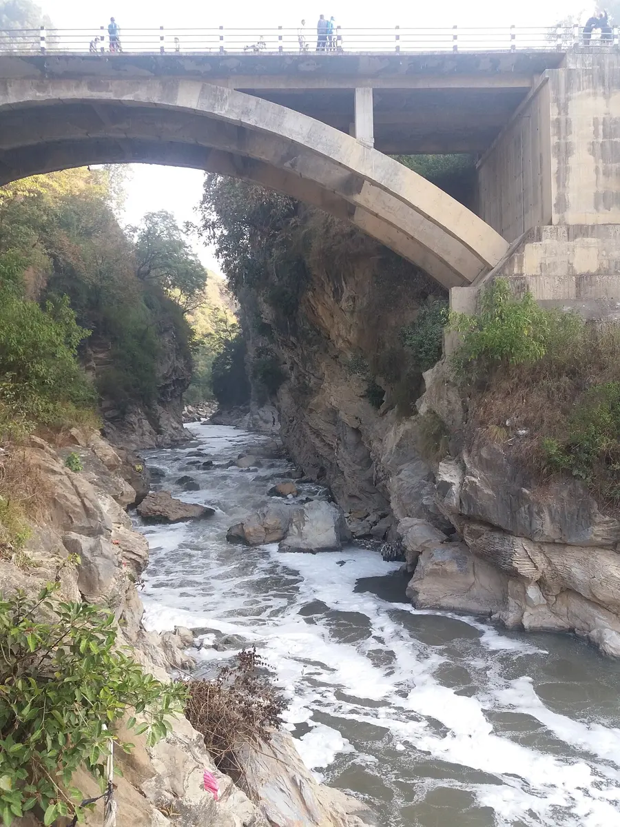
Geology tells it like this. The valley is a low place among hills that are still rising. Rivers carry mud down into any dip. If the way out gets blocked, the water backs up and makes a lake, and in the still water of a lake even the finest clay can settle. Layer after layer, the lake fills with mud. Then the block gives way, the lake drains, and the mud is left behind as a flat floor.
Here that happened on a grand scale. Under the middle of the valley, more than 600 m of mud, sand and gravel lie on top of the solid rock. The thickest part is the black clay of the lake itself, 200 to 400 m of it, the कालीमाटी, “black soil”, that the valley’s farmers once dug up to spread on their fields. The geologist Harutaka Sakai, who studied cores drilled through it, found the lake had been there, in the middle of the valley, for about 2.5 to 2.8 million years. The lake wasn’t there the whole time. It came and went, and its level rose and fell.
Its last fifty thousand years can be read in the old river deltas around the edge of the floor, at Gokarna, at Thimi just west of Bhaktapur, and at Tokha. Wherever a river ran into the lake it dropped its sand, and those sands now stand as low, flat steps above the rivers. Dating them, Tetsuya Sakai and his colleagues from Nepal and Japan found that the lake didn’t empty in one go. About 39,000 years ago its level stood near 1,340 m and then fell suddenly to about 1,300 m: the water had burst out. It rose and fell sharply again around 34,000 and 19,000 years ago. Their explanation is that a great landslide plugged the gorge where the lake drained, and each time the plug broke, the lake came pouring out.
When it finally drained is less certain. The youngest lake mud anyone has dated is about 11,000 years old, and Sakai’s team thinks about 10,000 years ago most likely, perhaps in one last outburst, from a level of about 1,320 m. Nobody is sure. So the old story and the geologists both begin with a lake and end with the gorge at Chobhar. In the geologists’ telling, the lake took millions of years to fill, and tens of thousands to empty, flood by flood.
The lake left one more record behind. In the sands laid down between about 20,000 and 17,000 years ago, Sakai’s team found twelve layers that had been churned and slumped while they were still soft and wet, the way loose wet sediment is when the ground shakes hard. If each one marks a great earthquake, the valley was shaken that hard every 250 years or less.
A capital on mud
Most of Nepal is slopes. A flat floor of soft, fine soil, at a height where the winters are mild, was a rare thing in the hills, and it was a wonderful place to farm. The lake had left rich ground, which could give two or even three crops a year, and the same fine earth, dug and fired, became the bricks the towns are built of. Food grown close at hand fed large towns. That is how a mountain country came to have its capital on the softest ground it has.
The soft ground has a price, and it is paid in earthquakes.
When the ground shakes
How earthquakes work is a story of its own; the valley adds something to it. When the shaking from a fault reaches hard rock, the rock jolts and stops. When it reaches a deep bowl of soft mud, the mud keeps going. It sways, like jelly in a bowl, and the waves bounce back and forth inside the basin, building up instead of dying away.
In 2015 the valley was measured doing exactly this. A team of seismologists had four instruments in the valley when the Gorkha earthquake struck: one on rock at Kirtipur, and three on the lake mud, at Kirtipur’s university, in Patan and at Sanothimi, beside Bhaktapur. Up and down, all four moved almost alike. Side to side, the three on the mud swayed far more than the rock, about ten times as much, and kept swaying long after, slowly, one sway every 3 to 5 seconds, a little differently at each place. A separate study, from GPS, found the whole basin ringing at a period of 4 to 5 seconds.
That slow sway mattered. A low brick house shakes fastest to a quick jolt, and the quick shaking in the valley was moderate; that spared many ordinary houses. A tall building sways slowly, and a slow sway is just what the mud supplied. The swaying brought down tall structures, old monuments among them. The famous example of this is Mexico City, built partly on the clay of an old lake, where in 1985 an earthquake about 300 km away set the lake clay swaying every 2 to 3 seconds and many tall buildings fell. The seismologists who measured the valley noted that in 2015 Kathmandu had no high-rise towers that sway that slowly. As it builds them, the mud under them won’t have changed.
It had happened before. In the earthquake of 1934 nearly a fifth of the buildings in the valley were destroyed. How a country prepares for the next one is for the chapter on disasters.
The air in the bowl
The bowl does something to the air, too. Normally air gets colder as you climb. On a clear winter night that turns upside down. The ground loses its heat to the sky, the air touching the slopes chills, and, being heavy, it slides down and pools on the floor. Now there is cold air at the bottom and warmer air above it, and since cold air won’t rise through warm, it stays put, like a lid on a pot. Meteorologists call this an inversion.
Measured with a laser that bounces off the haze, the layer of air the valley’s smoke can mix into is only about 150 m deep on winter nights and mornings. Everything the valley burns overnight, from vehicles, fires for warmth and burning rubbish, is trapped in that thin layer, along with the brick kilns, which work in the dry months and stop for the monsoon. As the sun warms the floor, the layer grows, to around 800 m by mid-afternoon. Then, from late morning until dusk, a strong westerly wind blows in through the passes on the valley’s western edge and sweeps the air out. That is why the valley’s air is usually cleanest in the early afternoon and worst at breakfast time and in the evening. Some of the night’s smoke waits in layers above the floor and comes back down in the morning.
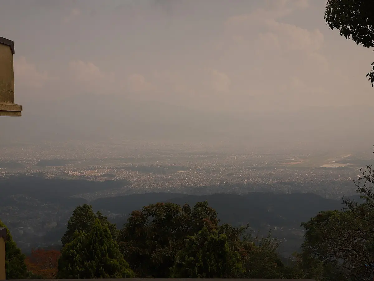
The numbers follow the seasons. In 2019 Kathmandu’s air carried on average 48 micrograms of fine particles in every cubic meter, small enough to reach deep into the lungs. In January the average was about 103. In August, with the monsoon washing the air every day and the kilns cold, it was about 12. Bhaktapur has one of the government’s air stations, part of a network that has measured the valley’s air since 2016.
Water under the floor
A bowl full of soft mud should be a good place to store water, and for a long time it was. The valley is famous for its stone spouts, धुङ्गे धारा, sunken courtyards where water runs day and night from carved stone mouths. The oldest known, in Patan, dates from the sixth century. They are fed by the shallow water in the ground, which was once kept topped up by ponds and canals.
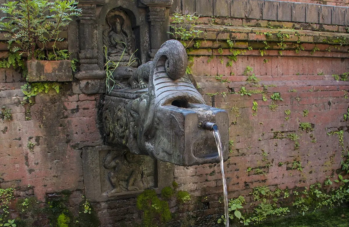
A count in 2019 found 573 of them in the valley. Ninety-four had disappeared altogether. Of the rest, 224 still gave water, about 2.4 million liters a day between them, and for many families with little money they were the main drinking water. Spout water is often thought clean, but because it comes from shallow ground, sewage and septic tanks seep into it, and samples often carry germs and nitrate.
Deeper down lies more water, and since the early 1980s the valley has been pumping it up. Around 2010 about 700 deep wells were drawing over 60 million liters a day, about four times what rain was thought to put back. The level in the wells was reported to be falling by about 2.5 m a year. The ground was being mined like a mineral.
The need is far bigger than any of this. In 2021 the valley needed about 470 million liters a day, and the pipes delivered 106 million in the wet season and 80 million in the dry. The big hope is the Melamchi project, which brings a river from the mountains to the north-east through a tunnel 26 km long, for 170 million liters a day, with a second phase planned to bring as much again from two more rivers. It took more than two decades to build. Its water had only just begun to reach the valley when, on 15 June 2021, the Melamchi River, dammed upstream by landslides, burst through. The flood buried the headworks in mud. By luck, the tunnel’s gates had been closed for an inspection a few hours earlier, so the tunnel itself was spared.
Three million people
In 1981 the three districts of the valley held 766,345 people. In the census of 2021 they held 3,025,386: Kathmandu district about 2.04 million, Lalitpur about 552,000 and Bhaktapur about 432,000. Four times as many people in forty years, on the same small floor.
They have to live somewhere, and where they live is on the farmland. Satellite pictures of the valley taken in 1989, 1999, 2009 and 2016 show its built-up area growing by about 400 percent in those 27 years, and nearly a third of its farmland built over. The town grew out along the main roads, ring by ring. The flat, fertile lake bed that made the valley worth living in is the ground that is easiest to build on, so it is the ground that goes first. Bhaktapur, the district the census found growing fastest of all Nepal’s 77, is filling its fields with houses too.
So the valley’s whole story comes from its shape. The hills made a bowl, the bowl held a lake, and the lake left a floor. The floor fed the towns and gave them their bricks. It also shakes like jelly, holds winter smoke under a lid, and hides water that is being pumped out faster than the rain can put it back. From Bhaktapur you can see all of it in one look: the flat floor, now mostly roofs, and the ring of hills that made it.
Found a mistake? Please tell us.