
Mountain Flights
Fly past the Himalaya over the real ground, at the height the planes fly, with the peaks named and a note at each stop.
Flights you can take
These follow real sightseeing and mountain flights, at their height and about their distance from the peaks.
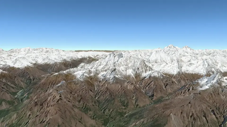 Kathmandu to Everest The morning mountain flight from Kathmandu: east along the Himalaya at 7,600 metres to Everest, about 20 km away, and back.
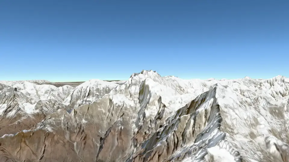 Pokhara to Annapurna From Pokhara up to Machhapuchhre, west to face Dhaulagiri and east past the Annapurnas: the half-hour mountain flight.
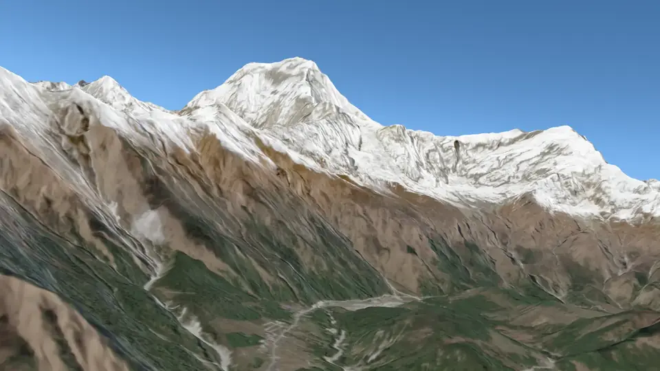 Pokhara to Jomsom The morning flight up the Kali Gandaki, through the gorge between Dhaulagiri and Annapurna, to Jomsom in Mustang.
Flights no airline flies
Routes we drew to show other parts of Nepal’s mountains, at a mountain flight’s height.
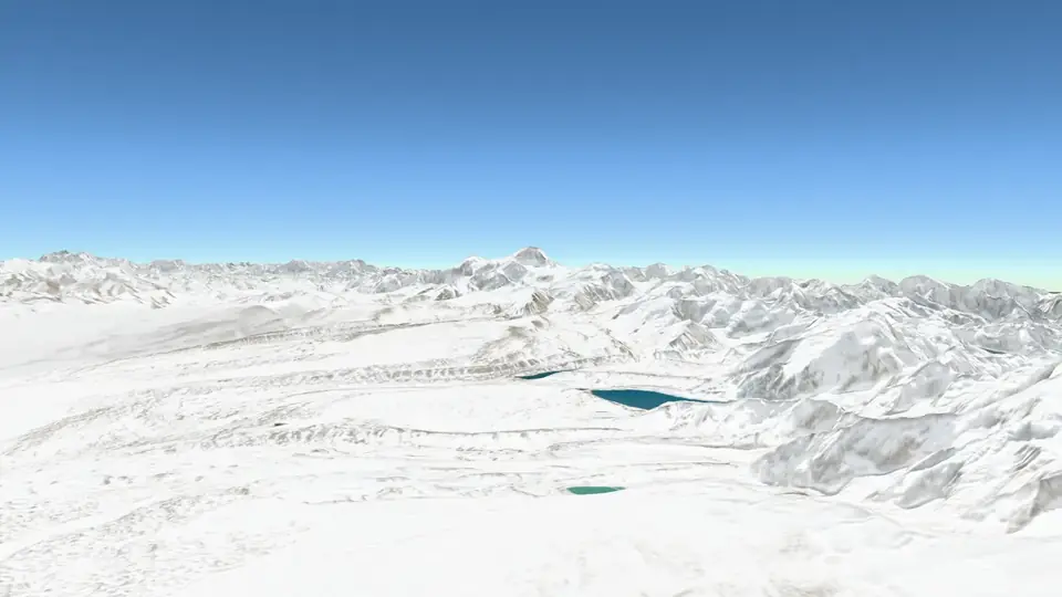 Across Nepal: the Terai to Tibet Not a real route: a flight straight north across Nepal, from the plains by Birgunj over the Chure, the Mahabharat, Kathmandu and Langtang to the plateau of Tibet.
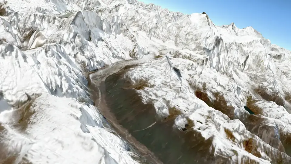 Up the Arun to Makalu From Tumlingtar north up the Arun valley, a river older than the Himalaya, to the pyramid of Makalu.
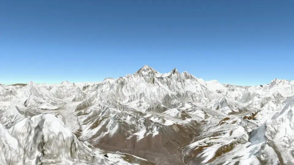 Glacial lakes: Tsho Rolpa to Imja Over two lakes that melting glaciers have made, and that could burst: Tsho Rolpa in Rolwaling and Imja below Lhotse.
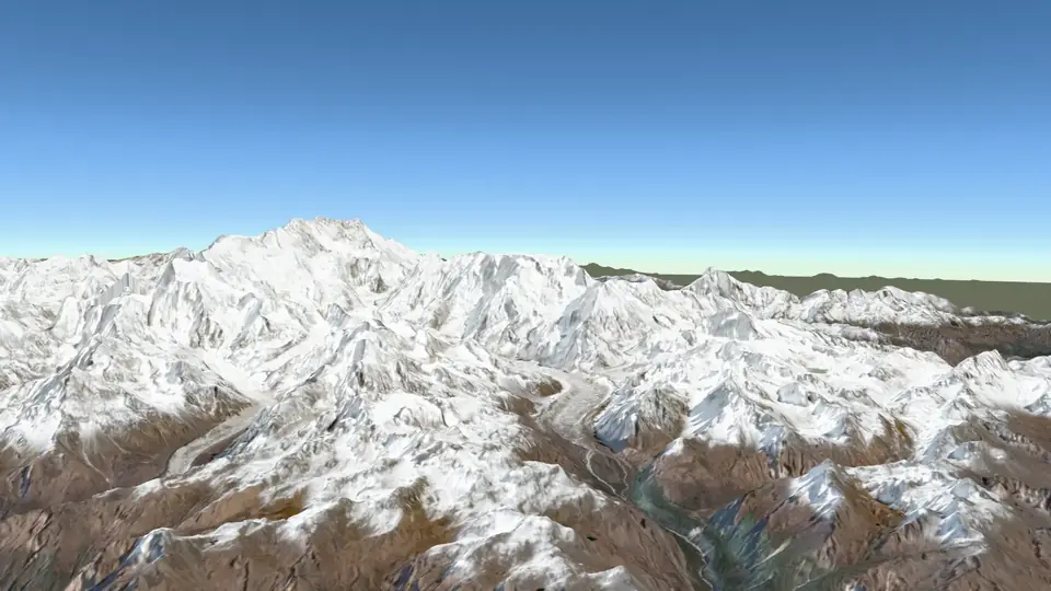 To Kanchenjunga From Taplejung north-east to the world’s third highest mountain, on Nepal’s border with Sikkim.
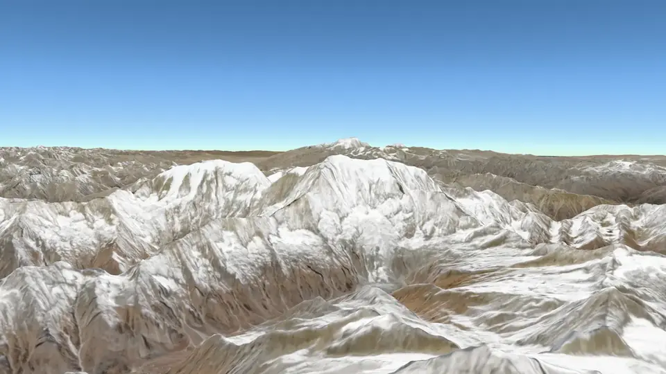 Rara to Saipal and Api Nepal’s quiet far west: from Rara, the largest lake, along the snow of Saipal to Api in the corner by India and Tibet.
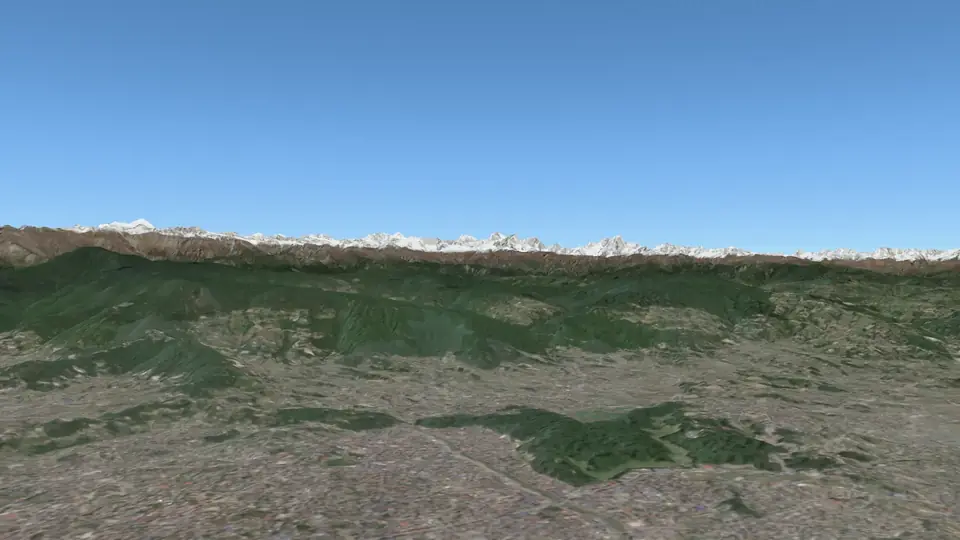 Kathmandu to Langtang and Gosaikunda The mountains closest to Kathmandu: north over Gosaikunda’s lakes and east along the Langtang valley.
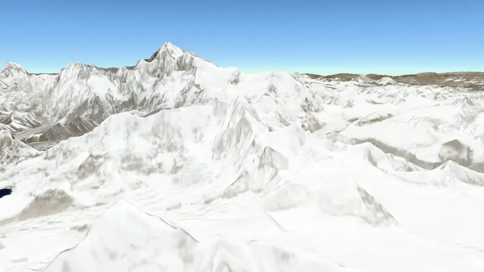 Great Himalaya Trail, east: Taplejung to Lukla The first stretch of the Great Himalaya Trail, from below Kanchenjunga west past Makalu to the Everest region, flown along the range.
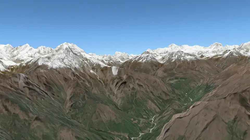 Great Himalaya Trail, centre: Lukla to Jomsom The middle of the Great Himalaya Trail: west from the Khumbu through Rolwaling, Langtang, Ganesh and Manaslu, round the Annapurnas to Jomsom.
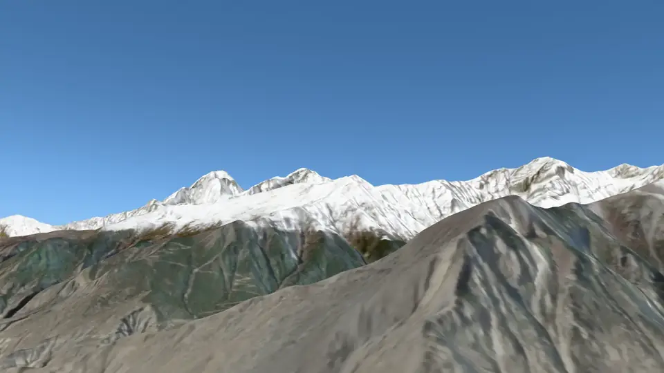 Great Himalaya Trail, west: Jomsom to Simikot The wild west of the Great Himalaya Trail: behind Dhaulagiri into Dolpo, past Phoksundo Lake and Rara to Humla, where the trail ends at the Tibetan border.
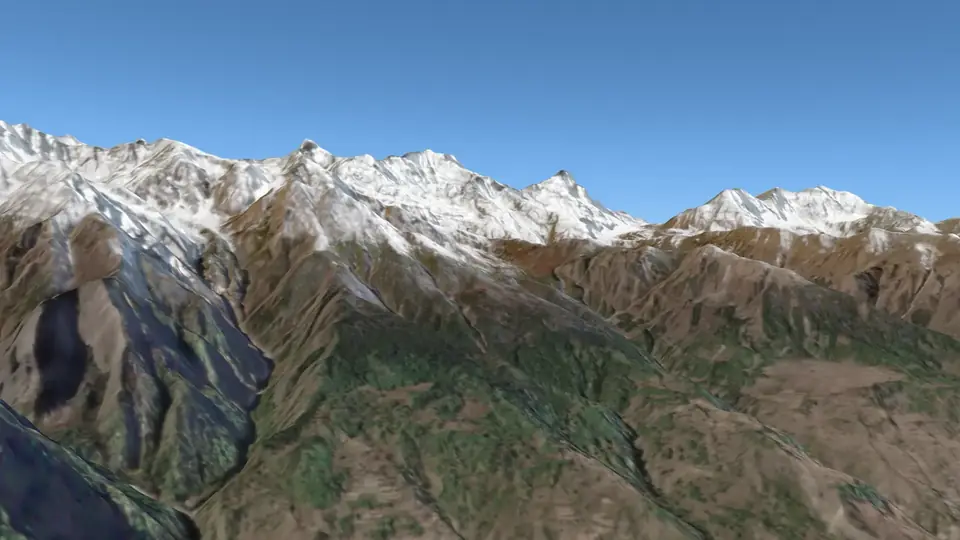 Nepal’s north-west corner: Limpiyadhura and Lipulekh Not a real route: from Simikot past Api to Limpiyadhura, Lipulekh and Kalapani, the corner of Nepal on its official map, then down the Mahakali to Bajhang.
What you see on each mountain flight
The mountains in the order they come, as the notes on each flight give them.
The Everest mountain flight from Kathmandu
The morning mountain flight from Kathmandu: east along the Himalaya at 7,600 metres to Everest, about 20 km away, and back. About 45 minutes in the air, up to 7,600 m.
- Taking off from Kathmandu. Mountain flights leave early in the morning, when the air over the Himalaya is clearest. The plane climbs east out of the valley with the mountains on its left; on the way back they are on the right. On the real flight every passenger gets a window seat.
- Langtang and Dorje Lakpa. Behind you to the north is the Langtang range, close to Kathmandu. On a clear day it is the first snow you see from the valley.
- Gauri Shankar. Gauri Shankar is named for Shiva and his wife Gauri (Parvati), and is sacred to Hindus and Sherpas alike. Its steep faces kept climbers off it until 1979.
- Cho Oyu. Far ahead, on the border with Tibet, Cho Oyu is the sixth highest mountain in the world.
- Everest. Sagarmatha in Nepali, Chomolungma in Tibetan: 8,848.86 m, the height Nepal and China announced together in 2020. The dark pyramid is the summit; the Lhotse–Nuptse wall runs in front of it, Nuptse on the left and Lhotse on the right.
- Ama Dablam and Makalu. Below Everest stands Ama Dablam, “mother’s necklace” in Sherpa, for the hanging glacier like a pendant on its face. Further east is Makalu, the fifth highest, a four-sided pyramid.
- Heading home. The plane turns back west. Now the mountains are on the right, and the passengers on that side get their turn.
The Annapurna mountain flight from Pokhara
From Pokhara up to Machhapuchhre, west to face Dhaulagiri and east past the Annapurnas: the half-hour mountain flight. About 25 minutes in the air, up to 7,600 m.
- Pokhara. From Pokhara’s lakeside the snow is only about 30 km away, and the land rises from 800 m to over 7,000 m in that distance.
- Machhapuchhre. The “fish tail”. From Pokhara it is a sharp pyramid; from the side it shows its two summits, the fish’s tail. It is sacred and closed to climbers: a team in 1957 stopped about 50 m below the top, and no climb has been allowed since.
- The Annapurna Sanctuary. Between Machhapuchhre and Hiunchuli lies the gorge into the Annapurna Sanctuary, a basin of glaciers ringed by peaks over 7,000 m.
- Annapurna I. Annapurna I, the tenth highest mountain, was the first peak over 8,000 m ever climbed, by a French team in 1950.
- Dhaulagiri. To the north-west, across the Kali Gandaki’s gorge, stands Dhaulagiri, “white mountain”, the seventh highest.
- Annapurna II and Lamjung. East along the range: Annapurna III and IV, then Annapurna II, and Lamjung Himal at the end. Manaslu, the eighth highest, is further on.
- Back over the lakes. Phewa, Begnas and Rupa lakes come back into view as the plane returns to Pokhara.
The flight from Pokhara to Jomsom
The morning flight up the Kali Gandaki, through the gorge between Dhaulagiri and Annapurna, to Jomsom in Mustang. About 20 minutes in the air, up to 4,000 m.
- Leaving Pokhara. Flights to Jomsom go only in the morning. By late morning a strong wind blows up the Kali Gandaki every day, too strong for small planes.
- Into the gorge. At Tatopani the river enters the gorge. Dhaulagiri on the left and Annapurna I on the right are both over 8,000 m and about 34 km apart, with the river between them at less than 2,500 m.
- Between two giants. Look left for Dhaulagiri and right for the Nilgiri peaks. The Kali Gandaki is older than the mountains: it kept its course as the Himalaya rose round it.
- The dry side. Past Tukuche the forest ends. The Himalaya stops the monsoon clouds, so Mustang, behind the range, gets little rain.
- Jomsom. Jomsom is the headquarters of Mustang district. Black stones from this river, saligram, hold fossils of sea animals called ammonites: these rocks were once under a sea.