
In the census of 2011, about 17 of every 100 Nepalis lived in a town. In the census of 2021 the number was 66. Two in every three.
That would be an impossibly fast move from village to town, if anyone had moved. Hardly anyone did. Between the two counts the government redrew the map of local government, and most of the country found itself inside a नगरपालिका (nagarpālikā), a municipality, which the law counts as urban. A farmer who went to bed in a village could wake up a townsman without leaving his field.
So the jump is real, and it isn’t. It is true by the law, and it isn’t true by the eye. Both answers are worth understanding, because together they say a good deal about what a town is, and they start with the map itself.
Seven, seventy-seven, seven hundred and fifty-three
Nepal is divided three times over. The biggest pieces are the seven provinces, set out in the constitution of 20 September 2015. Inside them are the 77 districts, which are older and which most people still use to say where they’re from (the site’s 77 Districts game will teach you all of them, if you have an afternoon). And inside the districts, since 2017, are the local levels, the governments closest to home.
There are 753 of them. Six are महानगरपालिका, metropolitan cities: Kathmandu, Lalitpur, Bharatpur, Pokhara, Biratnagar and Birgunj. Eleven are उपमहानगरपालिका, sub-metropolitan cities. Then come 276 ordinary municipalities, and 460 गाउँपालिका (gāũpālikā), rural municipalities. Between them they are cut into 6,743 wards, the smallest unit of all.
Before 2017 the pieces were far smaller and far more numerous: until 2014 there were 58 municipalities and more than 3,900 village development committees, and even after the first new municipalities had swallowed some of them, over 3,000 committees were left. The new structure came into force on 10 March 2017 with 744 local levels; a few more were added, mostly in the plains of what was then Province 2, and by the local elections that year there were 753. The number may not stay put. In April 2026 the ministry in charge of local government began looking again at the number and the boundaries, since many rural municipalities had asked to be made municipalities and some places wanted their wards redrawn. What each level is allowed to do, and how its people elect it, is a story about government rather than geography. Here the interest is the map, and the numbers on it.
For a few years the provinces had only numbers, because the constitution left each province’s assembly to choose its own name and capital, and that needed a two-thirds vote. Some found it easily. Karnali chose its name in February 2018. Gandaki took its name that July, a few days after its assembly had made Pokhara its permanent capital, and Sudurpashchim chose its name and its capital, Godawari in Kailali, that September, with Dhangadhi serving as the capital meanwhile. Bagmati settled on its name and Hetauda in January 2020, and Province 5 became Lumbini, with its capital at Deukhuri in Dang, in October 2020. Province 2 became Madhesh, with Janakpur, in January 2022. The last was Province 1, which became Koshi on 1 March 2023, after the river; Biratnagar had already been voted its permanent capital in 2019.
| Province | Capital | People in 2021 | People per km² |
|---|---|---|---|
| Koshi | Biratnagar | 4,961,412 | 192 |
| Madhesh | Janakpur | 6,114,600 | 633 |
| Bagmati | Hetauda | 6,116,866 | 301 |
| Gandaki | Pokhara | 2,466,427 | 115 |
| Lumbini | Deukhuri | 5,122,078 | 230 |
| Karnali | Birendranagar | 1,688,412 | 60 |
| Sudurpashchim | Godawari | 2,694,783 | 138 |
Uneven numbers
The provinces are far from equal slices.
Bagmati and Madhesh had almost exactly the same number of people in 2021. Bagmati was ahead by 2,266, about one large school’s worth out of six million. But Madhesh is the smallest province, and Bagmati is more than twice its size, so Madhesh fits its six million onto less than half the land, at 633 people to the square kilometer. It is the plain at its most crowded, a strip of flat, watered, farmed land along the Indian border. Bagmati’s people are bunched in a different way: around three million of them are in the Kathmandu Valley, packed onto its floor, while its northern districts climb to the Tibetan border and hold very few.
Karnali is the other end. It is the largest province of all, and it has the fewest people, about one Nepali in seventeen, at 60 to the square kilometer. Most of it is high hills and mountains. It is also the only province without a single metropolitan or sub-metropolitan city.
These are averages, with all the trouble any density has: a province’s number spreads its people evenly over valley floors and bare ridges alike. But the differences are big enough to matter, and they cut both ways.
Where people are many, they press on what the place has. More people want the same land for houses and for fields, the same groundwater, the same roads at eight in the morning. Where they are few and scattered, the trouble is the reverse. A school needs enough children within walking distance to fill its classes; a hospital needs enough patients to keep a surgeon busy; a bus needs enough riders to pay for its fuel. In a crowded place all of these come close to home. Where the houses are thin on the hillsides, people walk farther for each of them, or go without.
People move too, and that changes the numbers again. Between 2011 and 2021, Lumbini grew by 1.24% a year and Madhesh by 1.19%, while Gandaki grew by only 0.25%. Where they go, and why, is the next chapter’s question.
Why a town is where it is
Every settlement on Earth, from a cluster of houses to a city of thirty million, began because somewhere was a good place to be. Bandipur’s story showed the two halves of that: the ground a place stands on, its site, and its links to other places, its situation. When geographers ask why a town grew where it did, the answers keep coming back to four things.
The first is water. Nobody lives far from it for long, and in a hill village the houses gather near a spring, a stream or a well. Nepal’s Grade 10 geography book lists water alongside the others that shape a village: flat or gently sloping land to build on and farm, grazing for animals, firewood, a market, and ground safe from landslides in the hills and from floods on the plains. It adds that villages are thicker on the sunny south-facing slopes of a hill than on its shaded northern side. In the high mountains, some villages aren’t even fixed. Families move down to the valleys for the winter and back up to the high pastures with their animals for the summer.
The second is the route. A town grows where travelers have to stop: at a pass, a ford, the foot of a climb, the end of a road. London is the classic case. The Romans built it, around the year 50, at a point on the Thames narrow enough to bridge and still deep enough for seagoing ships. Roads from the coast were turned to cross there, and ships could unload beside it. The bridge has been rebuilt since, and the city never left.
The third is safety. A town on a hilltop or a ridge is hard to reach and easy to defend, and before modern armies that mattered more than the walk to the fields. Many settlements of the Malla period sit on hilltops, and hill villages grew up around a कोट or गढी, a fort. Kirtipur shows why. It sits on a ridge above the floor of the Kathmandu Valley, and when Prithvi Narayan Shah’s army attacked it in 1757, its people beat them off, throwing stones down the slope. The Gorkhalis attacked again in 1764 and were beaten off again from the town walls. Kirtipur fell only on a third attempt, a year or two later (the accounts differ on the year), when, by the usual account, someone inside let the attackers in.
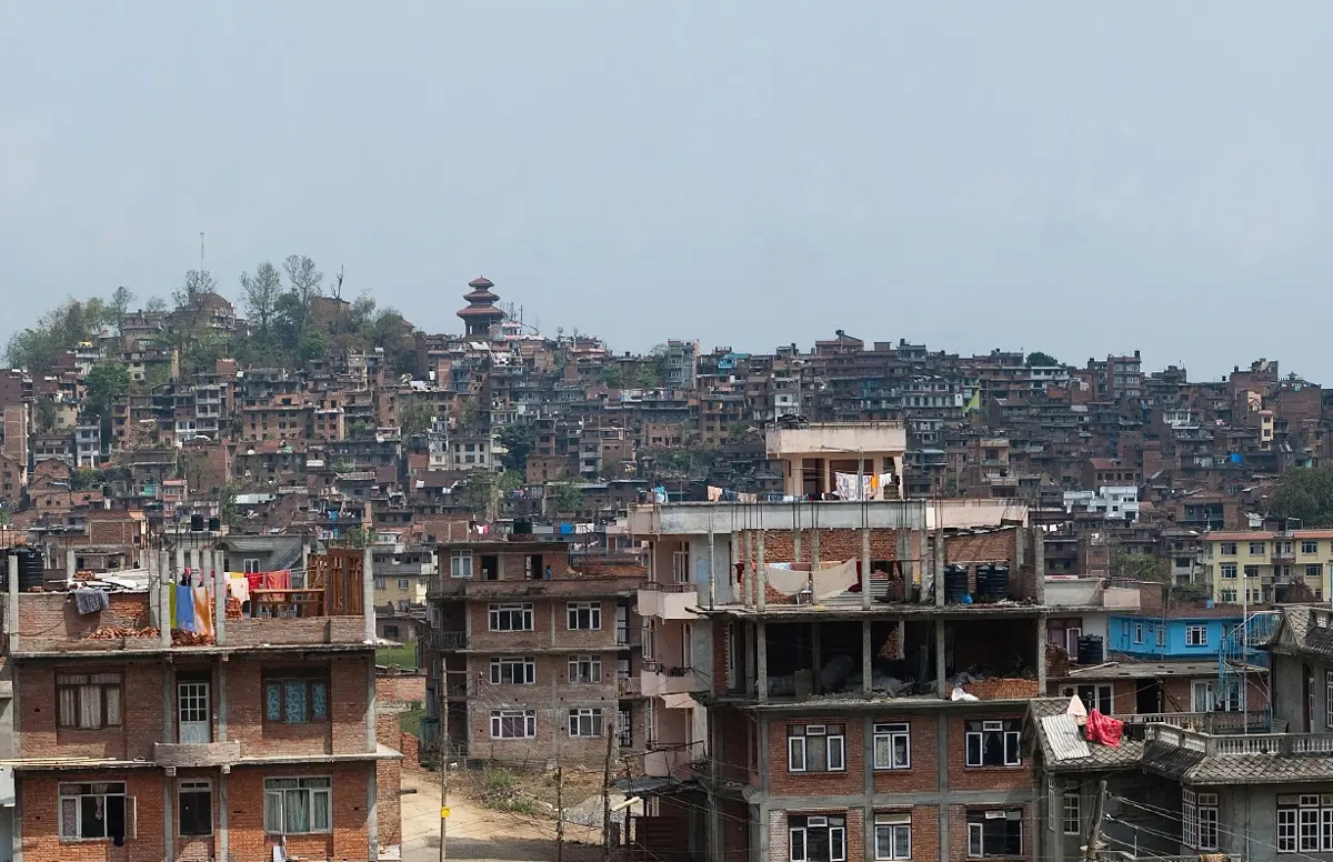
The fourth is the market. Wherever goods change hands, people settle to do the handling. Birgunj grew facing the Indian town of Raxaul across the border, on the road to Kathmandu, and it is still one of the country’s busiest gateways for trade, with a dry port for containers since 2004. Down the highway from Bandipur, Dumre grew up the same way, around a bus stop.
In 1933 a German geographer, Walter Christaller, asked a sharper question about markets. Why are there many small towns, fewer middle-sized ones, and only a handful of big cities, and why are they spaced the way they are? His answer rested on two ideas. Every kind of shop or service has a threshold, the number of customers it needs to stay open, and a range, the distance people will travel for it. A tea shop needs few customers and nobody will walk far for one, so tea shops are everywhere. A hospital or a university needs a great many people and people will travel a long way to reach one, so there are few of them, far apart, in the biggest towns. Christaller worked out that on an even, open plain the market towns would end up evenly spaced, each serving a six-sided patch of country, with bigger centers spaced farther apart among them. Real land is never that even, and Nepal’s ridges and rivers bend the pattern out of all recognition, but the idea of threshold and range explains a great deal: why you buy salt in your village and see a specialist in a city.
What counts as a city
Now back to the puzzle at the start.
Nepal has always counted as urban whoever lives in a municipality. That works well enough while municipalities are towns. In 2011 there were 58 of them, and 17.1% of Nepalis lived in them. Then, between 2014 and 2017, the government declared new municipalities in batches, first raising the count to 217 and then, with the new structure, to 293: the 276 municipalities and 17 metropolitan and sub-metropolitan cities. Many of the new ones were made by joining a few village development committees together. A municipality now covers its whole patch of the map, its bazaar and its paddy fields and its forest. And so in 2021, 66.17% of Nepal’s people lived in a municipality, and by the law they were urban. The census report does the sum the other way round: it puts the people counted in 2011 onto the new map. Already 63.19% of them were in municipalities. Ten years of growth and moving had added only three points; the new lines had added the rest.
Some of the new towns knew perfectly well what they were. When Chaurjahari in Rukum was made a municipality in 2015, out of four village committees, its later mayor remembered, “We had nothing back then; no roads, no water resources, no government offices, no physical infrastructure.” In 2022 its economy still ran on farming.
There is another way to count, which ignores the lines on the map and looks only at how closely people live. It is called the Degree of Urbanisation, and the UN’s statistical commission has approved it so that every country can be measured the same way. Lay a grid of squares, one kilometer on a side, over the whole country, and count the people in each square. A city is a block of joined squares with at least 1,500 people in each, holding at least 50,000 people in all. A town is a smaller or thinner cluster: at least 300 people to the square kilometer and at least 5,000 people. Everything else is rural.
Nepal’s own statistics office adapted the method to its wards, sorting each by its people, how closely they live and how much of it is built over, for the census of 2021, and published the result in January 2024. It found 27.07% of Nepalis living in urban places, another 39.75% in peri-urban ones, places on their way to becoming towns, and 33.19% in rural ones. Inside the municipalities themselves, about a quarter of the people turned out to live in wards that were plainly rural. The UN, which now counts every country this way, puts Nepal in 2025 at 19% in cities and 54% in towns, with 27% rural.
So is Nepal 66% urban, or 27%? Both are true, because they answer different questions. The first asks who is governed as a town: which people have a mayor rather than a village chairperson, pay a municipality’s taxes, and live under its rules for building. The second asks who lives the way people in towns live, with neighbors close on every side. The UN, which needs to compare countries, publishes both for Nepal. The trouble starts only when the two get mixed up, when a figure that counts mayors is read as if it counted city streets.
How cities grow
Even by the strict count, Nepal is becoming more urban, and quickly. In 1975, by the UN’s grid, only about 4% of Nepalis lived in a city. Today it is about 19%, and the UN expects about a quarter by 2050.
A city grows in three ways. Its own people have more children than die; people move in from the villages, for work, school and hospitals; and it spreads out over the villages around it and swallows them. All three have made Kathmandu. Counted on the UN’s grid, which follows the built-up city wherever it runs regardless of boundaries, Kathmandu held about 420,000 people in 1975 and about 3.2 million in 2025, nearly eight times as many in fifty years. On the ground, that spreading has been the valley’s farmland disappearing under houses, out along the roads.
Kathmandu is also out on its own. The next biggest cities on the UN’s count, Biratnagar and Pokhara, have about 300,000 to 400,000 people each. A country whose capital is many times bigger than its second city has what geographers, since Mark Jefferson named it in 1939, call a primate city. In Nepal the government, the airport, the best hospitals and the jobs all gather in one valley, and each draws more of the others, as crowds of firms do.
The world is going the same way, on a vastly larger scale. In 2025 cities held 45% of the world’s 8.2 billion people. In 1975 the world had 8 cities of more than ten million; in 2025 it had 33, and the UN expects 37 by 2050. Fifty years ago the biggest by far was Tokyo, with about 24 million. Tokyo is still enormous, about 33 million, but the UN expects it to shrink, to about 31 million by 2050. The largest city in the world is now Jakarta, with about 42 million people, and the second is Dhaka, with about 37 million.
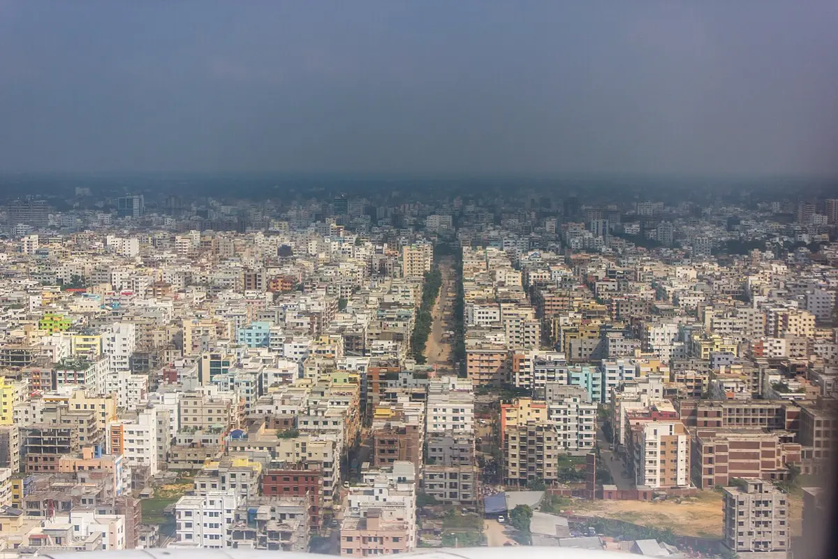
Dhaka grew about sevenfold in fifty years, a little slower than Kathmandu, but from a much larger start. The UN expects it to pass Jakarta and become the largest city on Earth by the middle of the century, with over 50 million people. Like Kathmandu, it is a capital that draws people from the whole country, and the country around it is one of the most crowded on Earth.
Every one of those cities began the way Kirtipur and Birgunj did, at a ford, a fort or a market, somewhere that was a good place to be. Nearly half the world now lives in one of them, and Nepal, whichever way it is counted, is on its way.
Found a mistake? Please tell us.