
It is 21 June, and it is noon. In Bhaktapur, Asha stands a straight 1 m stick upright on flat ground in the school yard, checks it with a plumb line, and marks the tip of its shadow. The shadow is short, because the Sun is nearly overhead: just 7.4 cm, pointing north.
At the same moment her cousin Rohan does the same in Ranchi, in India, 480 km almost due south. He phones her, puzzled: his stick has no shadow he can see. The Sun is straight above it.
Two sticks, two shadows, one distance. Nobody has flown round the Earth or looked at a photo from space. From these three numbers alone, can you work out how far it is round the whole Earth?
Guess first. Suppose the Earth were twice as big round, and Ranchi and Bhaktapur still 480 km apart. At noon on 21 June, what would Asha’s shadow be?
Pick an answer to see why.
In the widget the Earth is drawn the same size whatever you choose, so watch the cities instead: 480 km is a bigger share of a small Earth than of a big one.
Try it
Shadows farther and farther north
Stay with 21 June at noon, when the Sun is overhead at Ranchi. Imagine friends with 1 m sticks farther and farther due north of Ranchi. Our script worked out, for the real Earth, the Sun’s angle from straight up at each place, and the shadow:
| Distance north of Ranchi | 0 km | 480 km (Bhaktapur) | 1,000 km | 2,000 km | 3,000 km | 5,000 km |
|---|---|---|---|---|---|---|
| Sun’s angle from straight up | 0° | 4.3° | 9.0° | 18.0° | 27.0° | 45.0° |
| Shadow of a 1 m stick | 0 cm | 7.6 cm | 15.8 cm | 32.5 cm | 50.9 cm | 100 cm |
(Asha measured 7.4 cm, not 7.6 cm. There is a reason, and we come to it.)
Look at the two rows separately.
- a.The angle grows in step with the distance: 1,000 km gives 9°, 2,000 km gives 18°, 3,000 km gives 27°. Every extra 1,000 km north adds the same 9°. Twice the distance, twice the angle.
- b.The shadow doesn’t. 1,000 km gives 15.8 cm, but 2,000 km gives more than twice that, 32.5 cm, and 5,000 km gives a whole meter. The shadow grows faster and faster.
So the angle, not the shadow, is the thing that keeps in step with the distance. Keep that in mind: it is the key to the puzzle.
Use the pattern in a. If every 1,000 km north adds 9°, how far north of Ranchi would a friend be when the noon Sun is 90° from straight up, down on the horizon?
Pick an answer to see why.
What’s going on: two equal angles
Two ideas from Grade 8 do all the work: the angles where a line crosses two parallel lines, and proportion.
The Sun’s rays are parallel
The Sun is about 150 million km away. Light from it reaches Ranchi and Bhaktapur along two lines that are, for every purpose here, parallel: aimed at two places 480 km apart from 150 million km away, they differ in direction by less than a five-thousandth of a degree.
So on a flat Earth, every stick would cast the same shadow at the same moment. Different shadows mean the ground itself is tilted differently from place to place: the Earth is curved.
A stick points away from the center
A stick standing straight up, as a plumb line shows, points straight away from the center of the Earth. Make Asha’s stick longer and longer downward, in your mind, through the ground, and it would reach the center. The same for Rohan’s stick in Ranchi, and there the Sun’s ray runs straight down the stick and on towards the center too, which is why it has no shadow.
This is how Eratosthenes saw it, 2,200 years ago, in Egypt: at noon on midsummer’s day the Sun was overhead at Syene (now Aswan), in the south, but a stick at Alexandria, in the north, showed the Sun about 7.2° from straight up.
Look at Figure 22.1. There are two parallel lines: the ray that grazes the top of Alexandria’s stick, and the ray down Syene’s stick to the center. The line from the center up through Alexandria’s stick crosses both of them: it is a transversal. Where a transversal crosses two parallel lines, the alternate angles (on opposite sides of the transversal, between the parallels, in a Z shape) are equal.
One of them is the angle at the top of the stick, between the stick and the ray going on to the shadow’s tip: the angle the shadow shows. The other is the angle at the center of the Earth between the two cities. So:
The angle a shadow makes at the top of its stick is the angle at the Earth’s center between the stick’s place and the place where the Sun is overhead.
That is why the angle in the table keeps in step with the distance. An angle at the center of a circle is called a central angle, and the piece of the circle’s edge between its two arms is an arc. Double the arc, and you double the central angle; take a third of the arc, and you get a third of the angle. (This needs both cities on one north–south line, so that they and the center lie in the one slice of the Earth that the noon Sun shines along. Ranchi is only about 10 km west of due south of Bhaktapur.)
A share of the whole circle
Now proportion. The whole way round a circle is 360°, so a central angle tells you what share of the circle the arc is:
A quarter turn, 90°, is a quarter of the circle; 1° is a 360th. Eratosthenes’ 7.2° is of a full turn. So the 5,000 stadia (a Greek unit of distance) between Syene and Alexandria was a fiftieth of the way round, and the whole Earth was
Finding the angle from a shadow
Asha measured a shadow, not an angle. How does 7.4 cm become degrees? Two ways, both with what you already know.
By scale drawing
Draw it smaller, as in Grade 8’s scale drawings. A 1 m stick and a 7.4 cm shadow, drawn at a tenth of the size, become a line 10 cm tall with 7.4 mm along the ground at its foot. Join the top of the line to the end of the 7.4 mm, and measure the angle at the top with a protractor.
The trouble is that it is about 4°, and a school protractor reads to the nearest degree. Is it 4° or 4.5°? Our script tried both: 4° gives km; 4.5° gives 38,400 km. Half a degree, a mark you can hardly see on the protractor, changes the answer by 4,800 km. A small angle must be measured very carefully, because everything is multiplied by 360 divided by it.
The stick is a little Earth
There is a neater way, with no protractor. Swing the stick’s length round its top like the hand of a clock: its foot draws a circle of radius 1 m. The whole way round that circle is cm (the circumference of a circle, from Grade 8), so 1° of it is cm, about 1.75 cm.
For a small angle, the arc swung from the stick’s foot ends almost exactly at the shadow’s tip, as Figure 22.2 shows. So Asha’s 7.4 cm shadow is about of those one-degree steps: 4.24°. (Our script found the arc and the shadow differ by 0.2% at this angle, far less than the shadow’s blurry edge; below.)
Then the Earth:
And here is a shortcut, from the same picture. The two angles in Figure 22.2 are equal, so each arc is the same share of its own radius: 7.4 cm is of the stick, so 480 km is of the Earth’s radius. The Earth’s radius is
and once round the Earth is km again. That is the answer the widget found. The stick is a little Earth: its shadow is to its height as the distance between the cities is to the radius of the Earth.
The missing 2%
Asha’s 40,800 km is 2% more than the real 40,008 km. Where did it go wrong? Rohan’s stick was not quite shadowless. On 21 June the Sun is overhead at noon on the Tropic of Cancer, which runs about 8 km north of Ranchi. Rohan, 8 km south of it, sees the Sun a tiny 0.08° to his north, and a 1 m stick casts a shadow 1.3 mm long, pointing south: too short to notice, but it means the ground between the cities has turned by , not 4.24°. Then
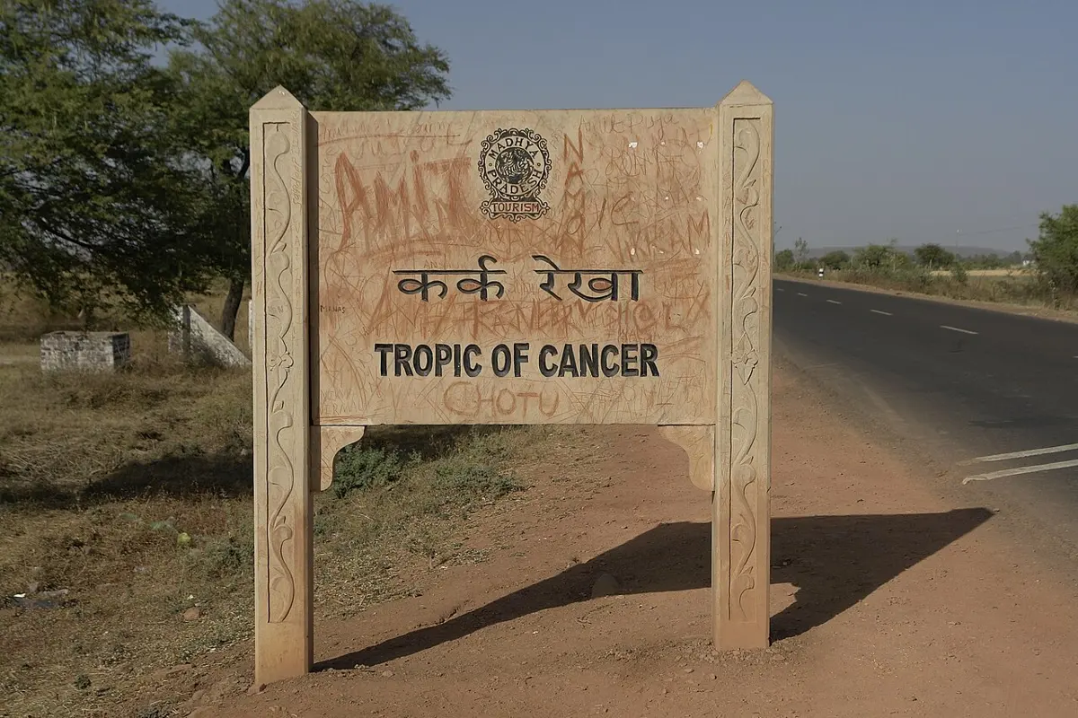
Two school sticks, a tape measure, a map and some care: the size of the Earth, right to within a fraction of a percent.
More puzzles of the same kind
How long is a degree?
If once round the Earth is 40,008 km, one degree of it is km, and Bhaktapur, 27.7° north of the equator, is about km from it.
The twist: two shadows can’t tell a flat Earth
Eratosthenes’ argument rests on two assumptions: the Earth is round, and the Sun is so far away that its rays are parallel. What if both were false? Suppose the Earth were flat, and the Sun close above it, straight above Ranchi.
Then the stick in Ranchi has no shadow, and the stick in Bhaktapur, 480 km away, has a shadow because the Sun’s rays reach it slanting. For a 7.4 cm shadow, the slant must be 7.4 cm across for every 100 cm down; so the Sun must be km up, the same number as the Earth’s radius, by the same similar triangles. The two shadows are explained just as well: the same two shadows, in two different worlds.
So two measurements can never tell the two worlds apart, but a third can, and measurements at many places, the Earth’s round shadow on the Moon in an eclipse, and ships rising hull first over the horizon all agree with a round Earth and a far Sun. The lesson is about mathematics, though: a calculation is only as good as its assumptions. Eratosthenes’ method works because its two big assumptions, a round Earth and a far-off Sun, are true.
Where this is used
At Science Playground, the Analemmatic Sundial is set out for Kathmandu, and you are its stick: your shadow tells the time. At noon by the Sun it points due north and is at its shortest, the moment Asha needed.
Questions
★ Two towns are 1,000 km apart, one due north of the other. At noon on the same day, the Sun’s angle from straight up is 9° greater at the northern town. How far is it round this planet?
Pick an answer to see why.
Eratosthenes found 250,000 stadia. Work out the Earth’s size in kilometers if a stadion was 160 m, and if it was 210 m. What does the gap tell you?
Answer
At the equinox the noon Sun is overhead on the equator. A school measures the noon shadow of its 1 m stick as 36.4 cm. About how far north of the equator is it? (On a 1 m stick, a shadow of 36.4 cm shows an angle of 20°. Use 111 km for each degree.)
Answer
A garden sprinkler sprays water 5 m and turns to and fro through 120°. What area of grass does it water, and how long is the curved edge of the wet patch? (Use .)
Hint
Answer
★★ On 21 June, a friend 3,000 km due north of the place where the noon Sun is overhead measures her 1 m stick’s shadow. If the Earth is round and the Sun far away, about what does she find? (The Earth is 40,000 km round.)
Pick an answer to see why.
On a flat Earth with the Sun straight above Ranchi, Ranchi’s stick has no shadow and Bhaktapur’s, 480 km away, has 7.4 cm. a. How high is the Sun? b. What shadow would a 1 m stick 960 km from Ranchi cast? c. On the round Earth, is the shadow at 960 km more than, less than or exactly twice 7.4 cm?
Hint
Answer
Where to go next
- What Is the Shortest Way to the River and Back? Equal angles again, this time making the shortest path, the way light bounces off a mirror.
- Why Do Flights to America Fly Near the North Pole? (Grades 9–12) Now that you know the Earth’s size: the shortest way between two cities on a round Earth.
- How Did Madhava Find π Without a Calculator? (Grades 9–12) The number in every circle you measured here, worked out to many places in Kerala six hundred years ago.
- Why Is It Cold in Winter? (Science, Going Further 6–8) Why the noon Sun is overhead on the Tropic of Cancer in June, and lower in the sky in December.
- Grade 10 Mathematics, Heights and distances: the tangent, which turns a shadow into an exact angle, even a big one.
Where these facts come from
- Eratosthenes’ life (Cyrene c. 276 BCE, Athens, tutor to Ptolemy III’s son, third librarian after Callimachus c. 240 BCE, his calendar, the sieve, his death in 194 BCE): J. J. O’Connor and E. F. Robertson, “Eratosthenes of Cyrene”, MacTutor History of Mathematics, read October 2026.
- The measurement as Cleomedes retells it (7.2°, a fiftieth of a circle, 5,000 stadia, 250,000 stadia; 252,000 in other sources), the well at Syene, his assumptions’ errors canceling, the nicknames Beta and Pentathlos, his coining of “geography”: Wikipedia, “Eratosthenes”, read October 2026.
- The stadion’s length, estimated by historians at between 150 and 210 m: Wikipedia, “Stadion (unit)”, read October 2026.
- The Earth’s polar circumference 40,007.863 km and equatorial 40,075.017 km; Syene less than a degree north of the tropic and about 3° east of Alexandria; Aryabhata’s 1,050 yojanas and readings of the yojana that make it 5% to 20% too big; al-Biruni’s method by the dip of the horizon; the meter defined in 1793 so that the quarter meridian was 10,000 km; the nautical mile as a minute of latitude: Wikipedia, “Earth’s circumference”, read October 2026.
- Al-Biruni’s measurement at Nandana in Pind Dadan Khan, his figure in cubits, the accuracy of about 20% because he made no allowance for the air’s bending of light, and his book on India: Wikipedia, “Al-Biruni”, read October 2026; Nandana Fort in Jhelum District, Punjab, Pakistan, and al-Biruni’s 11th-century measurement there: Wikipedia, “Nandana Fort”, read October 2026.
- Aryabhata at Kusumapura (Pataliputra), near today’s Patna, and the Aryabhatiya’s date (he was 23 in 499 CE): Wikipedia, “Aryabhata”, read October 2026.
- The meter as one ten-millionth of the distance from the North Pole to the equator through Paris (1790s), the Dunkirk–Barcelona survey, and the meter bar about 0.2 mm short of its definition: Wikipedia, “History of the metre”, read October 2026.
- The nautical mile, exactly 1,852 m since 1929, first a minute of latitude (a real minute 1,843 m at the equator to 1,862 m at the poles), used in sea and air navigation: Wikipedia, “Nautical mile”, read October 2026.
- The Tropic of Cancer at 23°26′08.9′′ N (23.4358°), the Sun overhead there at the June solstice, its line through Jharkhand: Wikipedia, “Tropic of Cancer”; the June solstice on 21 June in 2026 and 2027: Wikipedia, “June solstice”; both read October 2026.
- Bhaktapur at 27.672° N, 85.428° E: Wikipedia, “Bhaktapur”; Ranchi at 23.36° N, 85.33° E, near the Tropic of Cancer: Wikipedia, “Ranchi”; both read October 2026.
- The Sun’s distance, 149,597,870.7 km (the astronomical unit): Wikipedia, “Astronomical unit”; the Sun’s width in the sky, 31′27′′ to 32′32′′: Wikipedia, “Angular diameter”; both read October 2026.
- The Eratosthenes Experiment for schools, at the equinoxes, organized by Ellinogermaniki Agogi: eratosthenes.ea.gr, read October 2026; the classroom method (a vertical stick at local solar noon, a partner school on the same longitude, 360 divided by the difference in angles times the distance): Discover the Universe (Dunlap Institute and the Canadian Astronomical Society), “Measure the planet”, read October 2026.
- Arcs of the meridian after Eratosthenes (al-Ma’mun’s of 827, the Cassinis’ Paris arc from 1684, the Peru and Lapland expeditions from 1735 and the Earth’s flattening, Delambre and Méchain’s Dunkirk–Barcelona arc of 1792–1798 for the meter, satellite geodesy and WGS 84 today): Wikipedia, “Meridian arc”, read October 2026.
- Latitude from the noon Sun (the “noon sight”) or from Polaris: Wikipedia, “Celestial navigation”, read October 2026.
- Lunar eclipses and a ship rising over the horizon as signs of the Earth’s curve, and its bulge at the equator from its rotation: Wikipedia, “Spherical Earth”, read October 2026.
- Aswan at 24.089° N, 32.900° E, and its noon shadow at the solstice only about 1/400 of a staff’s length: Wikipedia, “Aswan”; Alexandria at 31.198° N, 29.893° E: Wikipedia, “Alexandria”; Patna at 25.594° N, 85.138° E: Wikipedia, “Patna”; all read October 2026.
- The Analemmatic Sundial at Science Playground: the exhibit’s own page.
- The photo of the Tropic of Cancer sign near Bhopal: Yann, on Wikimedia Commons (CC BY-SA 4.0).
- Every number in the topic (the distances, angles and shadows of the table, the widget’s Earth, Bhaktapur’s and Ranchi’s noon shadows, the protractor’s range, the stick’s 1.75 cm a degree, the Earth’s radius from the shadow, the flat world’s Sun, the third stick, the equinox shadow, the nautical mile and every answer) was computed by a script of our own from the sources above.