Nepal’s north-west corner: Limpiyadhura and Lipulekh
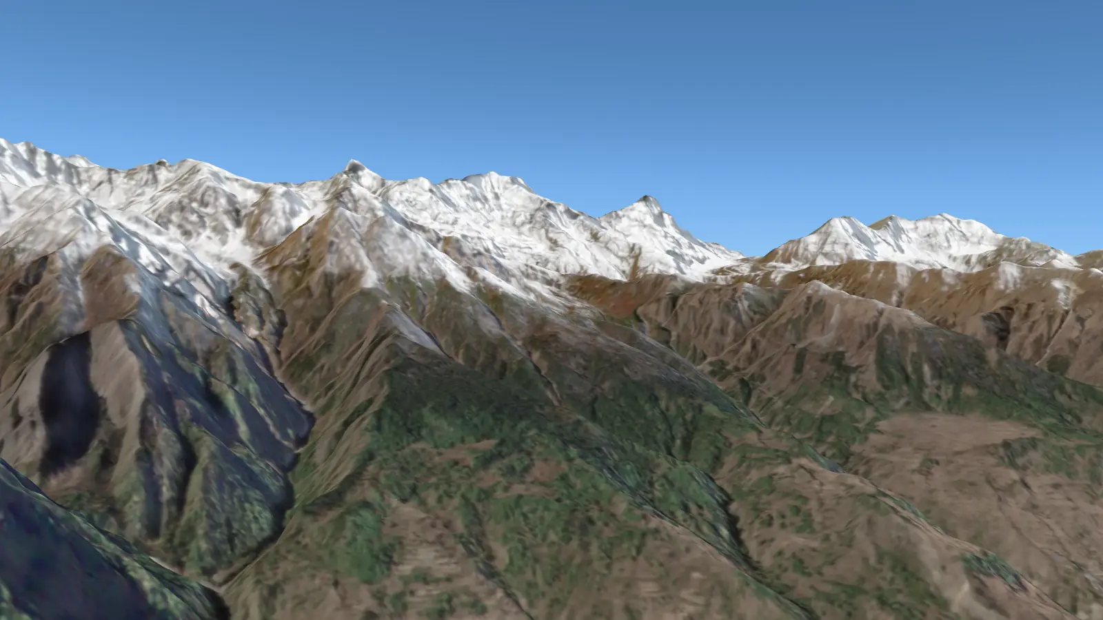
A flight we drew
Nepal’s north-west corner: Limpiyadhura and Lipulekh
Not a real route: from Simikot past Api to Limpiyadhura, Lipulekh and Kalapani, the corner of Nepal on its official map, then down the Mahakali to Bajhang.
- Flight time
- about 60 min
- Distance
- 328 km
- Flies up to
- 7,000 m
- Highest on the way
- Api, 7,132 m
Bringing in the mountains: 0% Starting the 3D view… Drawing the first view, then take-off…
The first part of the flight’s ground comes in now and the rest follows ahead of the plane, so nothing pops in on the way; the next flight over the same mountains starts at once.
On the way: Leaving Simikot · Api · The Kuthi Yankti · Limpiyadhura · Lipulekh · Kalapani · The Mahakali · Bajhang
Drag to look round; pinch or scroll to zoom.Cockpit looks ahead; Guided turns to each mountain; Other window looks out of the other side.Space plays or pauses; the arrow keys go to the next or last stop.Window draws the plane round the view; Names, Crew and Hum turn the labels, the announcements and the engines on or off.
Leaving Simikot
From Simikot, in Humla, we fly west along the border with Tibet to the corner of Nepal as its official map has drawn it since 2020.
Looking · 3,850 m up