Up the Arun to Makalu
A flight we drew
Up the Arun to Makalu
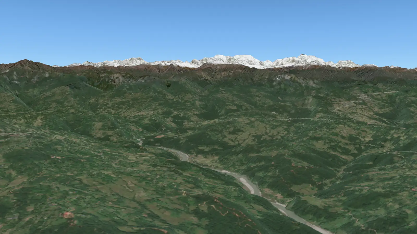
From Tumlingtar north up the Arun valley, a river older than the Himalaya, to the pyramid of Makalu.
- Flight time
- about 19 min
- Distance
- 126 km
- Flies up to
- 8,000 m
- Highest on the way
- Makalu, 8,485 m
Bringing in the mountains: 0% Starting the 3D view… Drawing the first view, then take-off…
The first part of the flight’s ground comes in now and the rest follows ahead of the plane, so nothing pops in on the way; the next flight over the same mountains starts at once.
On the way: Tumlingtar · The Arun · Makalu · Everest and Lhotse
Drag to look round; pinch or scroll to zoom.Cockpit looks ahead; Guided turns to each mountain; Other window looks out of the other side.Space plays or pauses; the arrow keys go to the next or last stop.Window draws the plane round the view; Names, Crew and Hum turn the labels, the announcements and the engines on or off.
Tumlingtar
Tumlingtar sits on a flat terrace above the Arun, only about 400 m above sea level, yet Makalu is less than 70 km away.
Looking · 2,000 m up