
Rojina, in Grade 10 at a school in Dhulikhel, is making a poster about Nepal’s borders for the school’s open day. She wants one number in large letters: how long the border is. She finds several. India’s border police guard “the 1,751 km Indo-Nepal border”. The Kathmandu Post writes that the same border is 1,880 km. The CIA’s World Factbook gave 1,770 km for it, 1,389 km for the border with China and 3,159 km in all; Nepali lawmakers in 2020 gave the China border as 1,414.88 km.
Someone has surely measured badly. Or have they? Before you decide, measure it yourself, the way map-makers once did: open a pair of dividers to a fixed width, the ruler, and walk them round the border on a map, each step landing on the border, counting the steps.
Guess first. With a 10 km ruler the border measures 2,474 km. What will a 1 km ruler give?
Pick an answer to see why.
Try it: walk the dividers
Here is what the widget measured, with four shorter rulers added. The steps were walked on Nepal’s full outline from the map data the site’s 77 Districts game is drawn from, 66,417 points round the border.
| Ruler | Steps | Length of the border |
|---|---|---|
| 160 km | 11 (and 40 km left over) | 1,800 km |
| 80 km | 24 | 1,953 km |
| 40 km | 51 | 2,068 km |
| 20 km | 111 | 2,238 km |
| 10 km | 247 | 2,474 km |
| 5 km | 521 | 2,609 km |
| 2.5 km | 1,121 | 2,804 km |
| 1.25 km | 2,386 | 2,984 km |
| 625 m | 4,992 | 3,120 km |
Read down the last column. Every time the ruler is halved, the border gets longer, and by roughly the same fraction each time: 153 km more, then 115, 170, 236, 136, 195, 179, 137. Those extra kilometers are not shrinking. Each halving adds between 4.6% and 10.5%, about 7% on average.
Predict: what will a 312.5 m ruler (half of 625 m) give, if the pattern goes on?
Pick an answer to see why.
Where the dividers start matters a little: from eight different starting points the 160 km ruler gives 1,766 to 1,884 km, the 10 km ruler 2,454 to 2,474 km. So the short ruler’s answer isn’t rougher; it is just longer.
Why the shorter ruler finds more
Look at the border close up. Every view in Figure 21.1 uses a ruler suited to its size, and every view shows the same thing: the ruler cuts across bends, and the bends it cuts across have smaller bends of their own.
Each step is a straight line, the shortest way between its ends, so any wiggle between them adds length that only a shorter ruler can see. On a smooth curve, like the rim of a plate, the wiggles shrink away as you look closer. On Nepal’s border they don’t: zoom in on a ridge and you find spurs and gullies; zoom in on a spur and you find rocks.
A circle settles down
Compare a shape whose length does settle. Take a circle about as big as Nepal, radius 300 km, and walk the same dividers round it.
| Ruler | Length round the circle | Short of the true length by |
|---|---|---|
| 160 km | 1,862.9 km | 22.07 km |
| 80 km | 1,879.4 km | 5.52 km |
| 40 km | 1,883.6 km | 1.40 km |
| 20 km | 1,884.6 km | 0.35 km |
| 10 km | 1,884.9 km | 0.09 km |
The true length is km, and the walks close in on it fast. The shortfall shrinks to about a quarter at each halving: 22.07, 5.52, 1.40, 0.35. (Each step falls short of its arc by about step³ ÷ (24 × radius²). Halve the step and each shortfall becomes an eighth as big, but there are twice as many steps: a quarter in all.)
So the circle’s extra lengths, 16.55 km, then 4.12 km, then 1.05 km, and so on, are, very nearly, a geometric series with common ratio , and you know from Grade 10 how to add one. All of them together, for ever:
just the 160 km walk’s shortfall. A sum that goes on for ever can still come to a finite number, when each term is a fixed fraction of the one before and that fraction is less than 1.
Nepal’s extra lengths don’t behave like that. Each one is about 7% of the length so far, so the length is multiplied by about 1.07 at each halving: a geometric sequence with ratio more than 1. If that went on for ever, the sum would never settle; it would pass any number you name.
What’s going on: the coastline paradox
Others had noticed the puzzle before, among them the Polish mathematician Hugo Steinhaus in 1954, but the one who measured it, ruler after ruler, was the English scientist Lewis Fry Richardson (his story is below). Studying wars, he wanted the lengths of borders and found that the published figures disagreed: the border between Spain and Portugal was given as 987 km and as 1,214 km. Walking dividers along coasts and borders on maps, he found what you found: the shorter the ruler, the longer the border, with no sign of the lengths settling. This is called the Richardson effect, and the puzzle that a coastline or border has no single true length, the coastline paradox.
A curve whose measured length does settle as the ruler shrinks (a circle, the edge of anything smooth) is called rectifiable: its length is the number the walks close in on. Nepal’s border doesn’t seem to be one.
A straight line on the right graph
Richardson plotted his measurements on a special graph, with both scales logarithmic: each step along the bottom is the ruler ten times longer, and each step up is the length multiplied by the same amount. On such a graph, a growth by the same fraction at each halving becomes a straight line. Try it with Nepal’s nine measurements.
A straight line on this graph means the length follows a power law in the ruler. Write L for the length measured with a ruler (the Greek letter epsilon, for a small length). Richardson’s rule is
where F and D are fixed numbers for each border. With Grade 9’s indices you can see what it does. For Nepal, , so 1 − D = −0.10 and . Halve the ruler and is multiplied by . With the ruler in kilometers, F is the length a 1 km ruler gives: about 3,050 km for Nepal (the walk gave 3,025).
For a smooth curve, D = 1: then and L = F whatever the ruler, which is the circle’s flat line. The bigger D is, the faster the length grows as the ruler shrinks, and the more crumpled the border.
Why call D a dimension?
Count the steps instead of the length. A straight line 100 km long takes 10 steps of a 10 km ruler and 20 steps of a 5 km ruler: halve the ruler, double the steps. Now cover a square with little squares instead: halve their side, and you need four times as many. A line is one-dimensional and a square two-dimensional, and that is the dimension showing: halve the size and the count goes up by for a line, for a square.
Since the length is the number of steps times the ruler, Richardson’s rule says the number of steps grows as : halve the ruler, and the steps go up by . For Nepal’s border that is : more than a line’s 2, far less than a square’s 4. In this sense the border is a little more than a line, a curve crumpled enough to start filling the space around it. That is why D is called the border’s fractal dimension: a dimension that needn’t be a whole number. The Koch snowflake’s edge in the Grades 6–8 topic Can a Shape Have an Edge That Never Ends? has : cut the ruler to a third and you need 4 times as many steps, and .
Richardson measured several borders and coasts this way. Here are his values of D, with ours for Nepal:
| Border or coast | D |
|---|---|
| A circle (or any smooth curve) | 1 |
| The coast of South Africa | 1.02 |
| Nepal’s border (our measurement) | 1.10 |
| The coast of Australia | 1.13 |
| The land border between Spain and Portugal | 1.14 |
| The land border of Germany, about 1899 | 1.15 |
| The west coast of Great Britain | 1.25 |
With the same pair of rulers, 20 km and then 2 km, which would grow more: the west coast of Britain or the coast of South Africa?
Pick an answer to see why.
So how long is Nepal’s border?
Back to Rojina’s poster. Here are the numbers she found, side by side.
| Who | India border | China border | All round |
|---|---|---|---|
| India’s border police (SSB) | 1,751 km | ||
| The Kathmandu Post (2018, 2025) | 1,880 km | ||
| The CIA World Factbook (2025) | 1,770 km | 1,389 km | 3,159 km |
| Nepali lawmakers (2020, as reported) | 1,414.88 km | ||
| Our dividers on the national map, 10 km ruler | 2,474 km | ||
| The same map, its finest detail | 3,440 km |
Not one of the published figures says which ruler, which map, or which line was measured, and the borders aren’t even the same line: our outline, like the map Nepal published in 2020, includes Kalapani, Lipulekh and Limpiyadhura, which India administers and shows as its own. So the disagreements are no proof that anyone measured badly. They are what the coastline paradox predicts when people measure the same crumpled line in different ways. A length of a border is only half an answer; the other half is the ruler.
A good answer for the poster would be: “About 3,000 km, measured with a 1 km ruler on the national map. Measure with a shorter ruler and it comes out longer.”
Where the rule breaks
Does the border really have no length at all? Richardson’s straight line can’t go on for ever, for three reasons.
The map has a finest detail. Our outline is made of 66,417 straight pieces, half of them shorter than 35 m. A ruler much shorter than the pieces just walks along the straight lines, and the length stops growing at the map’s own 3,440 km. You saw this begin in the widget, with the rulers under 600 m: the dots bend away from the line towards the dashed level. If the 1.07 pattern went on, a ruler of about a meter would give over 6,000 km. It doesn’t, on this map.
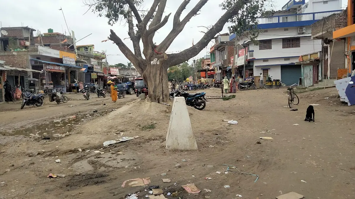
The real border is fixed by people. On land, the Nepal–India border is marked by pillars, 8,554 of them by the Department of Survey’s count as of 2025, and the Nepal–China border of 1961 has pillars too. A border agreed as straight lines from pillar to pillar would have a definite length, the sum of its straight pieces. But where the border follows a river, it moves when the river moves: thousands of hectares of land have shifted from one side to the other, and Nepal’s and India’s boundary officials still have to settle where the line runs there. In the high mountains it follows watersheds, the crests of ridges, which are as crumpled as any coast.
Nature has a smallest size too. A stone, a grain of sand, an atom: below some size it makes no sense to speak of the border’s line at all. Mandelbrot’s 1967 paper was careful: a coast is “statistically self-similar”, each piece looking roughly like a smaller copy of the whole, and since “geography is unconcerned with minute details”, the measurer chooses a smallest size worth counting. So a fractal is a model, like a smooth curve is a model. For a border measured with rulers from a few hundred meters to a hundred kilometers, the fractal model is the better one, and the smooth model is simply wrong.
A staircase that never gets shorter
The coastline paradox has an opposite, a trap that catches people who have just learned it.
Draw a staircase across a square of side 1, as in Figure 21.3. However many steps you use, the treads add up to 1 across and the risers to 1 up, so every staircase is 2 long. With a million steps the staircase is so close to the diagonal that no eye could tell them apart, yet its length is still 2, not the diagonal’s .
A story from maths
Where this is used
Questions
a. ★ For the west coast of Britain, D = 1.25. Halving the ruler multiplies the measured length by about:
Pick an answer to see why.
Prakash measures the Nepal–India border on a small map in a world atlas, Sita on the Department of Survey’s large, detailed maps, both with the same dividers set to 5 mm. Whose answer will be longer, and why?
Answer
A border measures 2,000 km with a 20 km ruler, and its D is 1.2. Predict its length with a 5 km ruler.
Hint
Answer
A coast measures 1,500 km with a 10 km ruler and 2,100 km with a 1 km ruler. Find its D.
Hint
Answer
e. ★★ A curve is built like the Koch snowflake’s edge, but each straight piece is replaced by a zigzag of 8 pieces, each a quarter as long. What is its fractal dimension?
Pick an answer to see why.
Every staircase in Figure 21.3 is 2 long. Explain why the dividers don’t make the same mistake: why can a walk of the dividers along a curve never come out longer than the curve itself?
Answer
For Nepal’s border, the line through the walks is km, with the ruler in km. If this held for every ruler, how short a ruler would measure the border as 6,000 km? Why won’t a real measurement with that ruler give 6,000 km?
Hint
Answer
Where to go next
- Can a Shape Have an Edge That Never Ends? (Grades 6–8) The Koch snowflake: an edge that grows for ever round an area that doesn’t, and the Sierpiński triangle.
- Can You Add Halves Forever and Still Get One? (Grades 6–8) When an endless sum settles, as the circle’s did here.
- Why Is a Magnitude 8 Earthquake Not Just a Bit Bigger Than a 7? Log scales, the kind of graph that turned Richardson’s measurements into a straight line.
- Can a Pattern of Tiles Never Repeat? Shapes that fill a floor without ever repeating, another surprise of geometry.
- How Does a Computer Grow a Fern? (Computing, Going Further) A fractal drawn by a short program, copies of copies of a leaf. (Coming soon.)
- Grade 10 Math: Sum of a geometric series The sum this page used to decide whether a length settles.
Where these facts come from
- Nepal’s outline: the national outline from the 77 Districts game’s map data (77 district outlines from a DXF in Web Mercator, merged; includes Kalapani, Lipulekh and Limpiyadhura), the data folder’s
README.md(its sources and how it was made), read October 2026. Every walk, length, ratio, fit, start-point range and box count on this page, the circle’s walks, the worked example and every answer to the questions were computed bychecks/textbooks/math-further-9-12/21/tmp/border_numbers.py(outputborder_numbers.out); the widgets’ and figure’s data bymake_data.pyandfig_data.pybeside it. - “Guarding the 1,751 km Indo-Nepal … international borders”: Sashastra Seema Bal, home page, read October 2026. The 1,751 km figure also: Wikipedia, “India–Nepal border” (the 2020 map and the Limpiyadhura claim, the Kalapani and Susta disputes), read October 2026.
- The Kathmandu Post: “Nepal and India share a 1,880 km long border spanning over 27 districts”; the Department of Survey’s data: 8,554 pillars installed, 1,325 missing and 1,956 damaged, rivers that changed course, the three-year plan leaving out Kalapani and Susta: The Kathmandu Post, 30 July 2025, read October 2026; the same 1,880 km in The Kathmandu Post, 19 September 2018, read October 2026.
- More than 8,000 pillars to be linked by GNSS (2016): Scroll.in, 27 June 2016, read October 2026.
- The CIA World Factbook’s land boundaries for Nepal (3,159 km; China 1,389 km; India 1,770 km), updated 1 October 2025: the Factbook’s Nepal page data through the Wayback Machine, read October 2026; the CIA no longer publishes the Factbook (its notice, read October 2026).
- The Nepal–China border as 1,414.88 km, with 98 pillars, in Nepali Congress lawmakers’ statement as reported in August 2020: WION, 23 August 2020, read October 2026; the 1961 treaty, pillars and 1963 protocol, the 1,389 km figure: Wikipedia, “China–Nepal border”, read October 2026.
- Richardson’s rule , dividers walked along a map, his values of D (South Africa 1.02, Australia 1.13, Spain–Portugal 1.14, Germany about 1899 1.15, west coast of Britain 1.25), Richardson 1961, “statistical self-similarity”; and Mandelbrot’s later notes to the paper (the “Trojan horse”, Steinhaus as referee and his 1954 remarks on lengths, finance and noise): B. B. Mandelbrot, “How long is the coast of Britain? Statistical self-similarity and fractional dimension”, Science 156, 636–638 (1967), with his annotations, Yale copy through the Wayback Machine, read October 2026.
- The coastline paradox, the Richardson effect, Spain–Portugal 987 or 1,214 km, Steinhaus’s “paradox of length”, rectifiable curves, the staircase paradox, the word fractal (1975, fractus): Wikipedia, “Coastline paradox”, read October 2026.
- Richardson’s life (Quaker, conscientious objector, the Friends’ Ambulance Unit 1916–1919, the forecast worked by hand, borders and war, the Netherlands–Belgium 380 or 449 km): Wikipedia, “Lewis Fry Richardson”, read October 2026.
- The US shoreline, 153,646 km (95,471 miles), and how it was measured: NOAA, “How long is the U.S. shoreline?” and “Shoreline Mileage of the United States”, read October 2026.